
October 2021 Lunch & Learn Video Now Available
Did you miss the October 2021 IGIC Lunch & Learn session on Using ArcGIS with LiDAR? You can view it now!

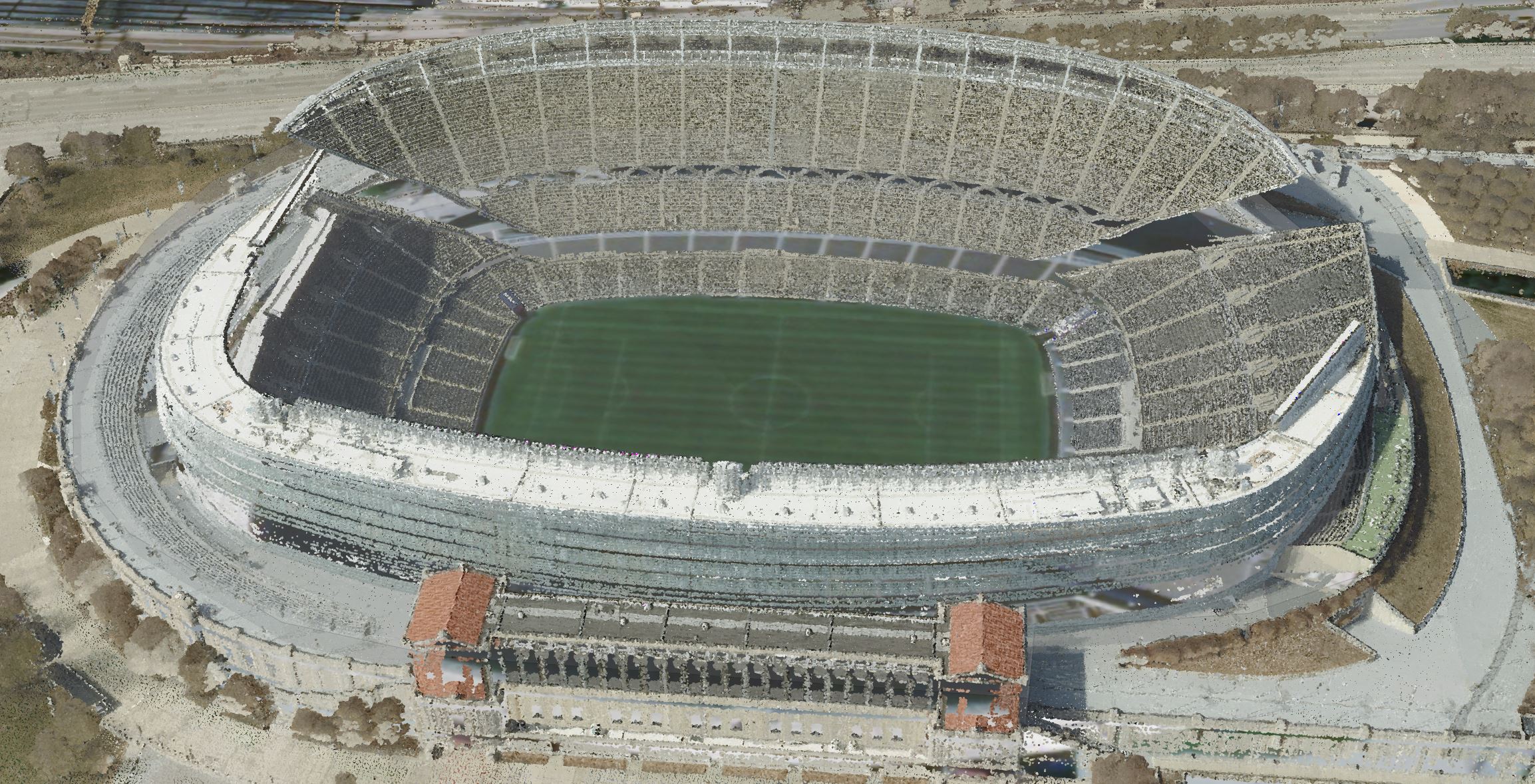
Arthur Crawford with Esri covered using your lidar with classification (Ground, Buildings, Vegetation, and Power Lines) to be able to derive products like DTM and DSM using the 3D Basemap Solution.
 [JPG, 721.69 KB]
Arthur showed a ton of examples, including some below.
You can view the recorded Lunch & Learn by following the link below. The next IGIC Lunch & Learn program will be held on Wednesday, November 17, 2021.
View October 27, 2021, IGIC Lunch & Learn:
Using ArcGIS with LiDAR