
Latest News
Fall 2023 Quarterly Meeting Video Available
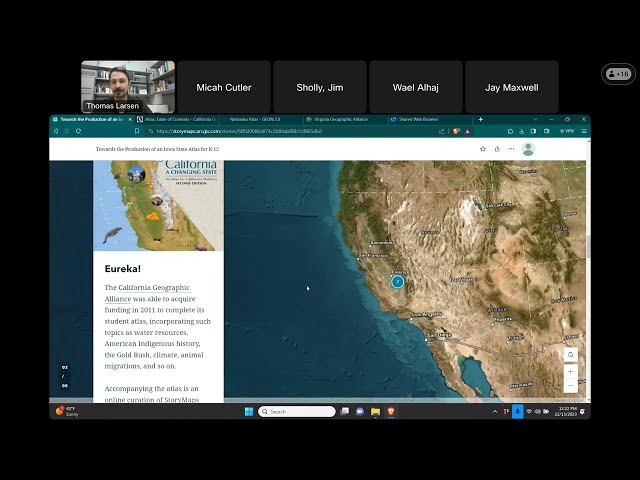
The IGIC Fall 2023 Quarterly Meeting was held on Wednesday, October 18, 2023. Please view meeting minutes below. IGIC Fall Read More »
Read More >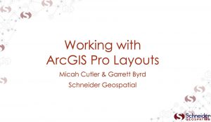
January 2024 Lunch & Learn Video: Working with Layouts in ArcGIS Pro
Garrett Byrd and Micah Cutler with Schneider Geospatial cover beginning topics in working with layouts in ArcGIS Pro. Working with Read More »
Read More >Winter 2024 Quarterly Meeting Video Available
The IGIC Winter 2024 Quarterly Meeting was held on Wednesday, January 17, 2023. View 1-17-2024 Meeting Minutes (PDF)
Read More >
January 2024 Lunch & Learn: Working with ArcGIS Pro Layouts
The January 2024 IGIC Lunch & Learn will be held on Wednesday, January 24, 2024, at noon. Whether you are Read More »
Read More >Latest Videos
The Iowa Geographic Information Council hosts a virtual Lunch & Learn series each month. These informal sessions are an opportunity for members and non-members to learn, network, and connect. Have a topics to suggest? We welcome all future topics suggestions - Contact IGIC today!
View previous Lunch & Learn webinars on IGIC's YouTube Channel.